MOUNT KILIMANJARO · RONGAI ROUTE
Rongai Route: Climb Kilimanjaro from the Northern Side
Approach Mount Kilimanjaro through its quieter northern landscapes, walk beneath the dramatic peaks of Mawenzi, and cross the high-altitude Saddle towards Kibo before your summit attempt at Uhuru Peak.
- Duration: 6-7 days
- Accommodation: Mountain camping on the ascent
- Difficulty: Moderate
ROUTE GLANCE
Rongai Route at a Glance
The Rongai Route offers a different perspective of the mountain, with a more gradual trail profile on many sections, a remote starting point near the Kenyan border, and a descent through the Marangu side.
KEY HIGHLIGHTS
- Nalemoru Gate, near the Kenyan border
- Trekking duration: Commonly 6 or 7 days
- Accommodation: Mountain camping on the ascent; descent arrangements depend on the itinerary
- Difficulty: Challenging, with steep sections, long trekking days and a demanding summit
- Main consideration Allow enough time for acclimatisation
DECISION TIME
Is the Rongai Route Right for Your Kilimanjaro Climb?
Rongai is worth considering if you want to experience Kilimanjaro from a different side of the mountain. Its appeal lies in the northern approach, the quieter early stages, views of Mawenzi and the transition across the broad, high-altitude Saddle between Mawenzi and Kibo.
You may prefer Rongai if you
- Prefer a quieter trekking experience away from the busiest southern approaches.
- Want to approach Kilimanjaro from the northern side.
- Like open landscapes and views of Mawenzi Peak.
- Want a route that commonly descends on a different side of the mountain from where it begins.
- Can allow sufficient time for a properly planned acclimatisation schedule.
What should you consider before choosing it?
- Altitude: The summit stands at 5,895 metres, where altitude illness is a serious consideration.
- Acclimatisation: The route's gradual terrain does not automatically mean the body adjusts safely to the altitude. The itinerary matters.
- The Saddle: The exposed high-altitude section between Mawenzi and Kibo can be windy, cold and physically demanding.
- Summit night: The final ascent is steep and strenuous, followed by a long descent.
- Starting logistics: Reaching the northern trailhead generally involves a longer transfer from the main tourist centres than some southern approaches.
What the Rongai Route Experience Is Like
Rongai is often quieter and drier than the more frequently used southern routes, although weather and visitor numbers vary.
Begin on Kilimanjaro's Northern Slopes
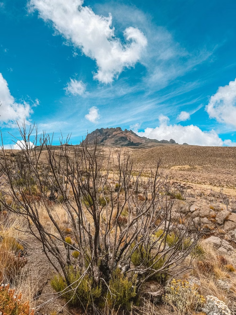
The climb begins near Nalemoru Gate on the northern side of the mountain, close to the Kenyan border. The initial trail passes through cultivated land and forest before opening into higher, less densely vegetated terrain.
This part of the climb feels different from the rainforest-heavy approach on some other routes. The surroundings gradually become more open as you gain elevation.
Walk Beneath Mawenzi Peak
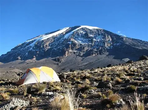
One of Rongai’s defining features is the approach towards Mawenzi, Kilimanjaro’s jagged second-highest volcanic peak. Depending on the itinerary, you spend time around Kikelewa Camp and Mawenzi Tarn, where the mountain landscape becomes more dramatic.
Mawenzi Tarn is particularly memorable because of its setting beneath Mawenzi’s rugged ridges. On a longer itinerary, the additional time here can also form part of the acclimatisation plan.
Cross the High-Altitude Saddle
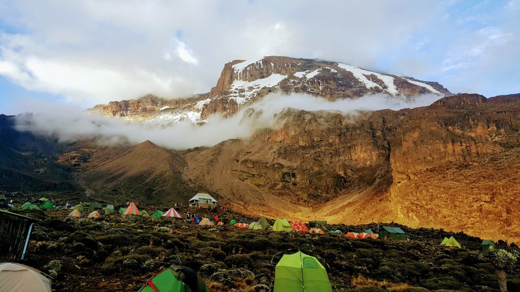
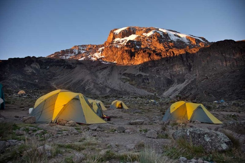
From the Mawenzi area, the route crosses the Saddle, a broad alpine-desert zone between Mawenzi and Kibo. Vegetation becomes sparse, the landscape feels more exposed, and conditions can change quickly.
The crossing leads towards Kibo Hut, where climbers rest before the summit attempt. This section should not be underestimated simply because the trail is not technically a rock-climbing route.
Reach Uhuru Peak
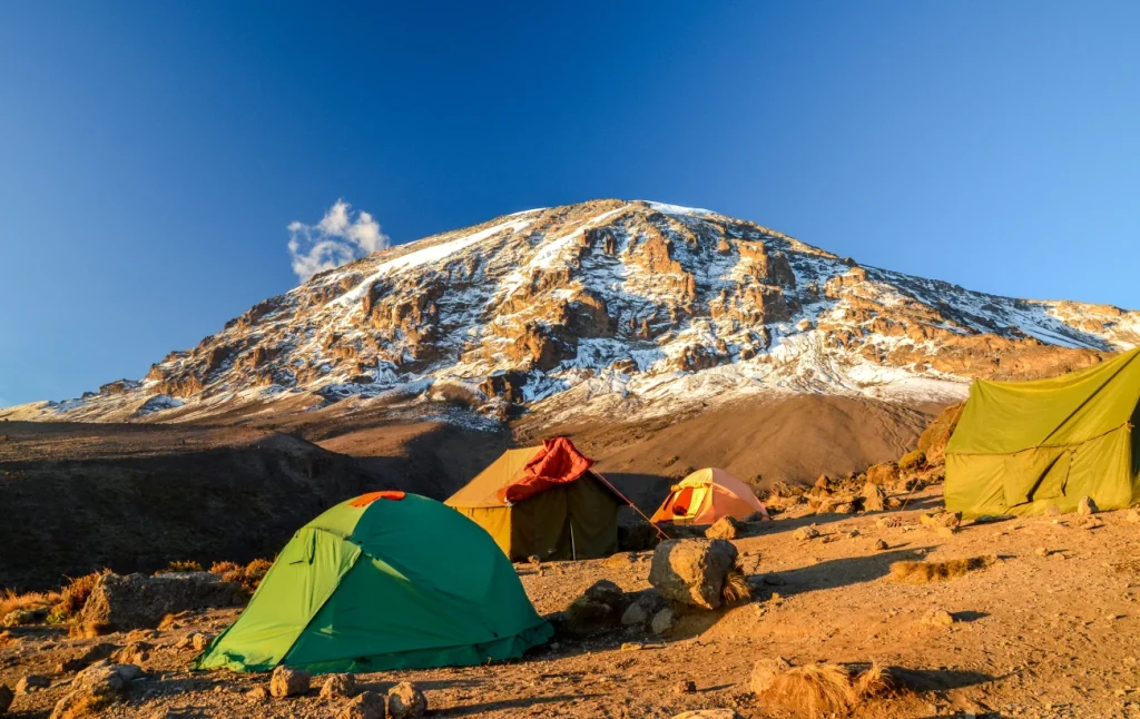
The summit attempt usually begins around midnight or in the early hours of the morning. Climbers ascend towards Gilman’s Point on the crater rim, then continue past Stella Point towards Uhuru Peak if conditions and their physical state allow.
Descend Through a Different Side of the Mountain
After the summit attempt, the route descends through the Marangu side, commonly passing Kibo Hut and Horombo Hut before reaching Marangu Gate.
This means the climb begins on Kilimanjaro’s northern side and finishes on its southeastern side, giving you a different view of the mountain on the way down.
THE ROUTE
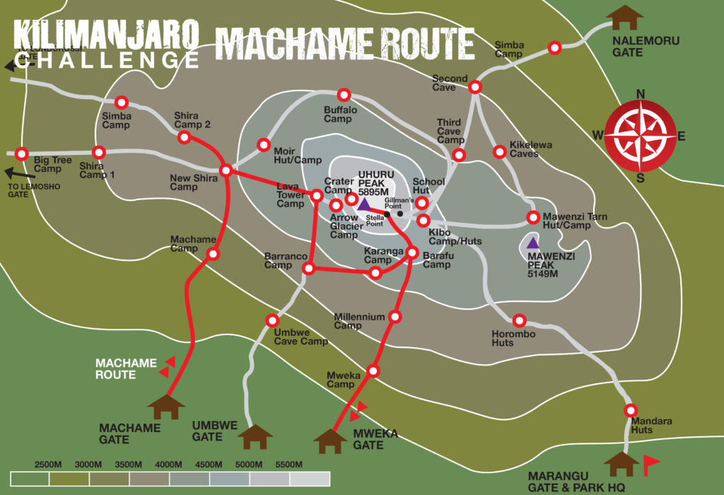
. Rongai Route map
The Rongai Route climbs Kilimanjaro from the north, passes through the highlands beneath Mawenzi, crosses the Saddle towards Kibo and reaches the summit via Gilman’s Point and Stella Point. The descent follows the Marangu side.
Route sequence for the map:
Nalemoru Gate → Simba Camp → Second Cave → Kikelewa Camp → Mawenzi Tarn → Kibo Hut → Gilman’s Point → Stella Point → Uhuru Peak → Kibo Hut → Horombo Hut → Marangu Gate.
BEFORE YOU GO
Difficulty, Altitude and Preparation
Climbing Kilimanjaro is a demanding physical undertaking. The Rongai Route does not normally require technical mountaineering skills on its standard trail, but it involves sustained walking, high-altitude exposure, cold conditions and a demanding summit attempt.
Its gradual trail profile should not be confused with an easy climb. Altitude, the time available to acclimatize and the quality of the itinerary remain important considerations.
Altitude
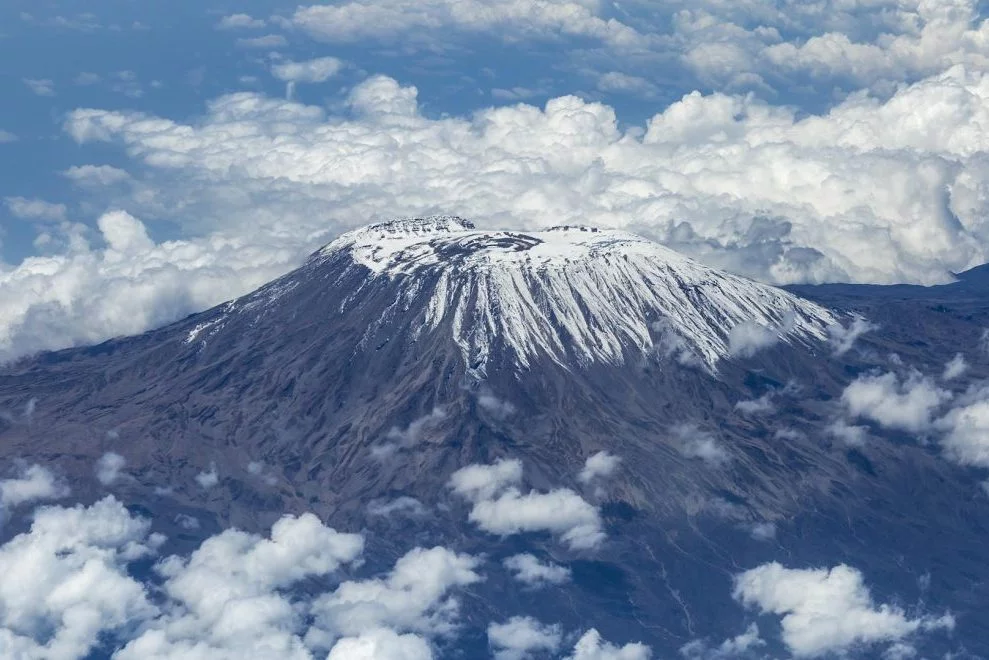
Uhuru Peak stands at 5,895 meters above sea level. At these elevations, the reduced availability of oxygen can affect anyone, regardless of fitness.
The Rongai Route begins at approximately 1,950 meters at Nalemoru Gate and climbs through a series of camps towards Kibo Hut, at roughly 4,700 meters, before the summit attempt.
A longer itinerary commonly includes an overnight stop at Mawenzi Tarn, around 4,300 metres, before continuing towards Kibo. This can provide more time at altitude, but acclimatization varies from person to person, and altitude illness remains possible.
Discuss altitude risks and preventive measures with a qualified healthcare professional before your climb.
Physical preparation
Prepare with regular walking and progressively longer hikes, including uphill and downhill terrain. Cardiovascular exercise, leg strength and pract
ice walking for several consecutive days can help you prepare for the physical demands.
Practise with the footwear, clothing and daypack you intend to use on the mountain. You should also be prepared for uneven ground, long walking days and the physical demands of descending after the summit attempt.
Fitness can help you manage the walking, but it does not prevent altitude illness.
Summit night
The summit attempt commonly starts around midnight or in the early hours of the morning. Expect cold conditions, a prolonged ascent and a lengthy descent.
From Kibo Hut, climbers ascend steep terrain towards Gilman’s Point on the crater rim. Those who are able to continue then follow the rim past Stella Point towards Uhuru Peak.
Rest, suitable clothing, hydration and following your guides’ instructions are important. The summit is not the end of the effort: the descent can be long and physically demanding.
Guide support and safety
Climb with a properly organized guiding team that monitors climbers and knows how to recognize altitude illness. If symptoms develop or worsen, tell your guide immediately. A safe descent may be necessary even if it means stopping short of the summit.
What Is Included in a Rongai Route ?
The exact package depends on the operator and the climb you book. Confirm the inclusions in writing before paying.
Your Rongai package details should clearly explain:
- Mountain guides and supporting crew
- Applicable park and camping fees
- Meals and drinking water on the mountain
- Tents and other included camping equipment
- Transfers to and from the trail, where included
- Accommodation before or after the climb, where included
- Personal equipment, tips, travel insurance and other exclusions
- Emergency procedures and rescue arrangements as specified by the operator.
Plan your Machame climb
Tell us when you would like to climb, how many people are travelling and which itinerary you are considering. We can then discuss availability, package details and the arrangements for your trip.
Rongai Route FAQs
Get To Understand What Most Travelers Ask About This Route